See Earth in real time
by ilchenearly on 2007-02-17 15:28:58
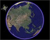
We all know Google Maps isn't time-sensitive, but the images taken by the European Space Agency's Envisat satellite are in real time.
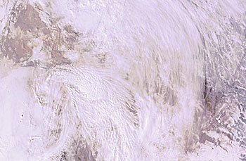
To avoid overloading the space agency's hard drive with these images, BMP images (hundreds of megabytes in size) are 30 days old, but JPG images are up to date. In addition, it can only be seen in real time where the sun is shining, and most of the time our Earth is shrouded in white clouds.