Absolutely copy Google Maps and use kites to take photos
by bugbear on 2010-10-13 16:08:29
Frank Taylor is a sailing enthusiast, in the past five years, his team on a sailboat to visit a lot of seas, sponsored by Google, Taylor used a kite along the way to photograph a lot of coastal scenery, just like Google Earth (Google Earth) provided satellite images, but, Taylor's images are much better in definition than those taken with satellites.
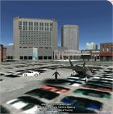
Today, Taylor's kite images have been purchased by Google and used on Google Maps and Google Earth. Compare the following kite images with satellite images:
2010-10-8 21:36


